Hiking the High Country Pathway
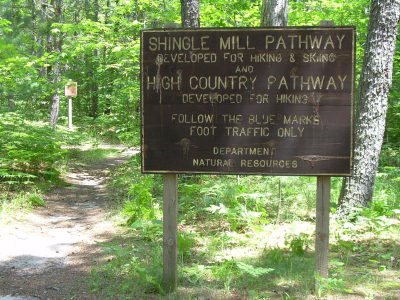 |
| HCP Sign at Pigeon River Campground |
Click on any photo to see a larger image.
 The High Country Pathway (HCP) is an 80 mile loop trail located in the northeast tip of Michigan’s Lower Peninsula (roughly 20 miles northeast of Gaylord, Michigan). According to the Pigeon River Country Association, the HCP “is one of the Lower Peninsula’s best opportunities for a near-wilderness experience. * * * It was originally designed to provide the enthusiastic backpacker with roughly one week of high quality outdoor adventure.”
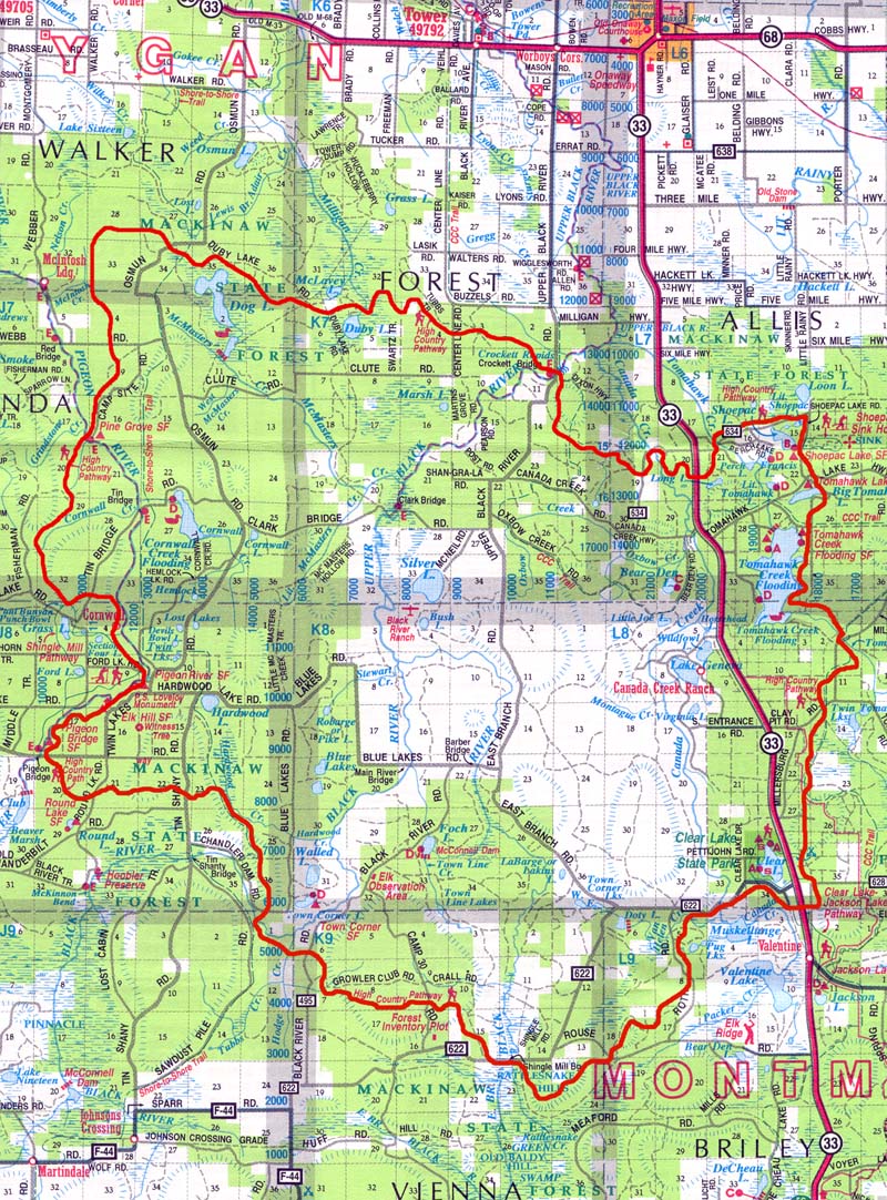
Trail Map: A topographical map with campground, milage, connecting trails, and other hiker friendly information can be ordered online from the Pigeon River Country Association ($9.00) or purchased at the Village Market, 8070 Mill Street, Vanderbilt, MI.
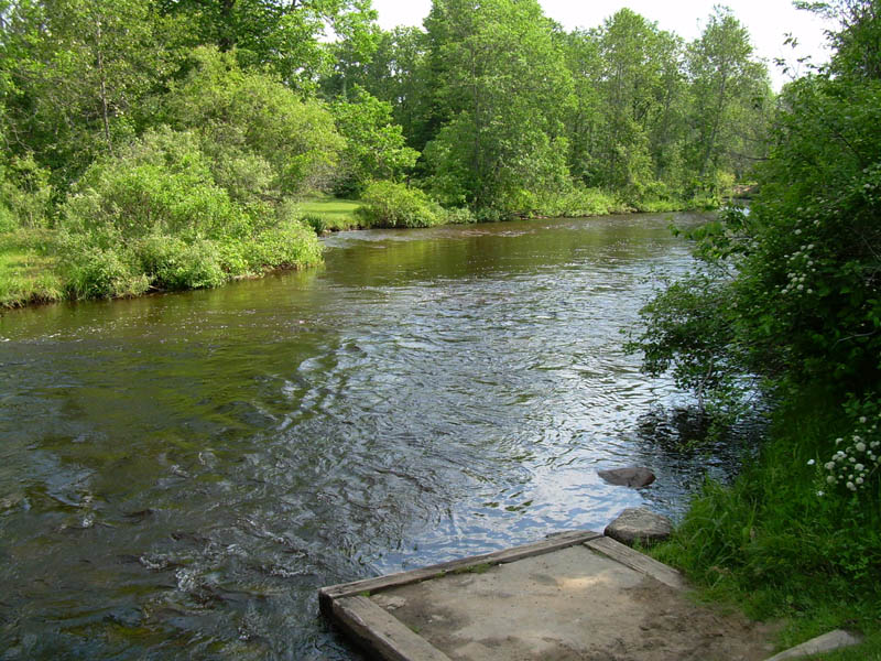
Directions: Take I-75 to the Vanderbilt exit. Turn east off the exit ramp and drive to the center of town. Turn east on Main Street (the only traffic light in town). Main Street becomes E. Sturgeon Valley Road. Continue approximately 10 miles. Immediately after crossing the Pigeon River, there is a parking area for HCP users on the south side of the road. The Pigeon Bridge State Forest Campground is on the north side of the road directly opposite the parking area. Potable water is available at the campground. At the north end of the campground is a large sign marking the start of the High Country Pathway and Shingle Mill Pathway. (Or, if you want to proceed in a counterclockwise direction, the trail to Round Lake is on the east side of the parking area. There is no sign identifying the trail but the well-beaten path is obvious.)
If you want to start at a different point on the HCP, there are three other officially designated parking areas: (1) On the west side of Camp 30 Road where it crosses the HCP. (2) At the Shoepac Lake day use area – which is beside a road walk section of the trail. (3) On the north side of the loop where the HCP uses Black River Road to cross the Black River.
Trail conditions: The HCP is generally well marked with signs, blue blazes, and blue triangular trail markers. However, some of the blazes are very faded and there were several sharp turns and road crossings where it took a few minutes of searching to find the next blaze.
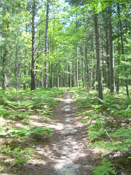
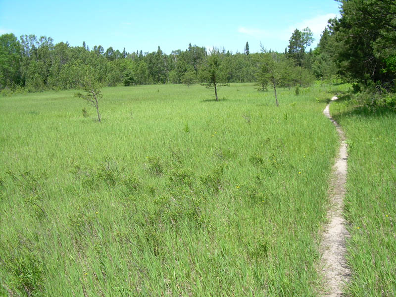
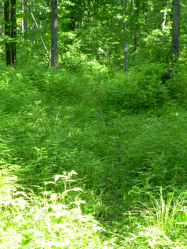
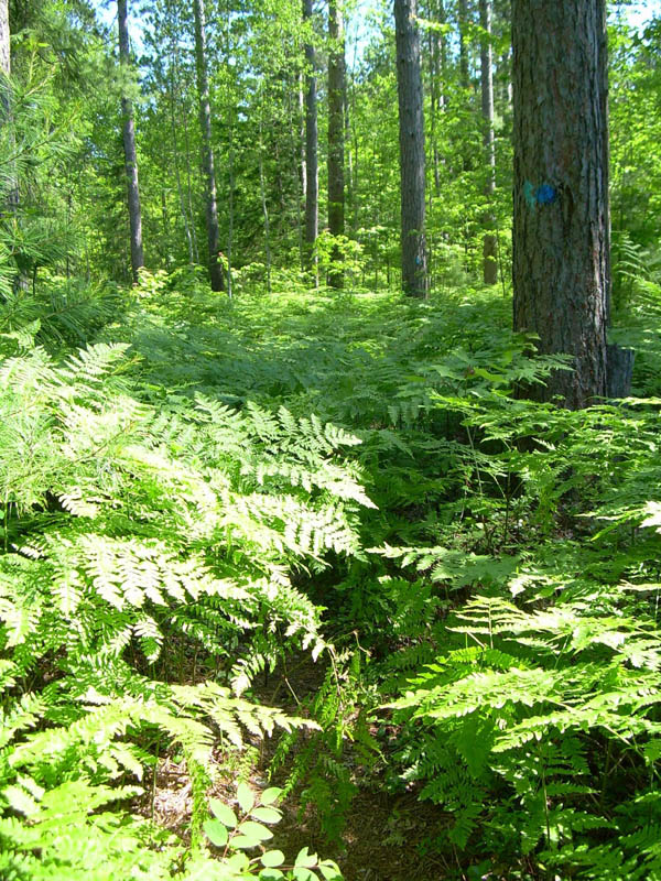
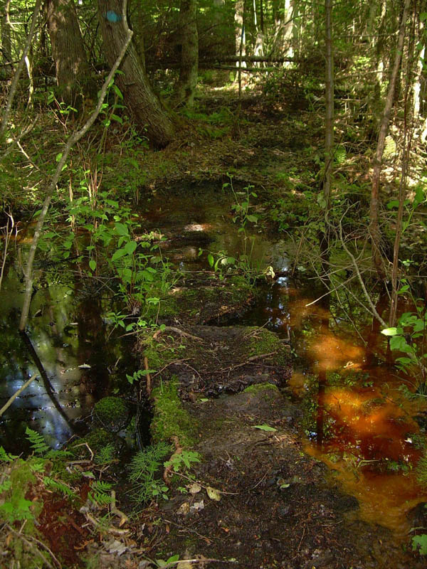
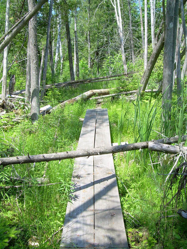
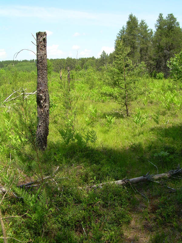
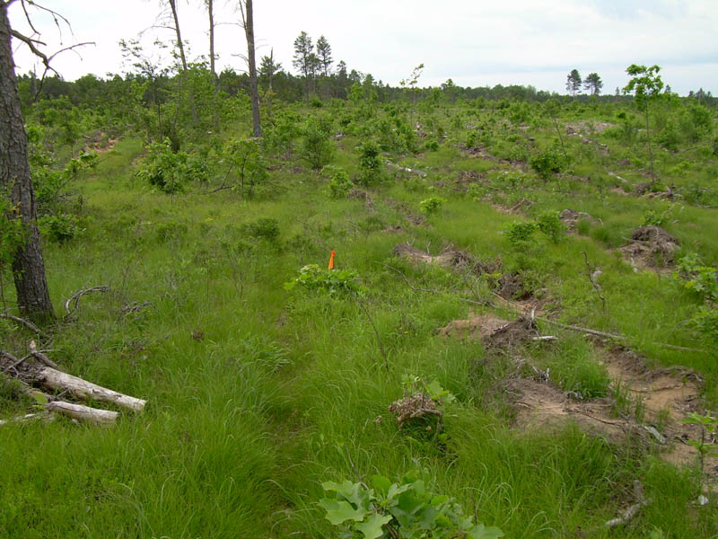
The quality of the trail varies considerably: from clear and well trod firm soil to wet and muddy to pushing through waist and chest high underbrush (especially ferns) overgrowing and obscuring the trail to bog bridges that can be extremely slippery when wet to a faint, barely perceptible track through grass. It appeared some portions (especially the northern third) had seen little recent use. Much of the trail is in need of serious maintenance.
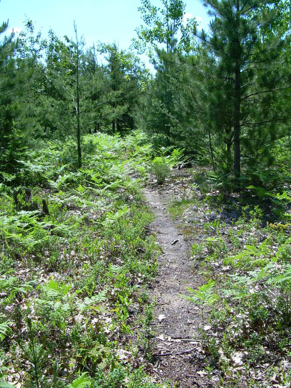
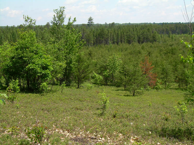
The terrain is mostly flat. There are a number of ups and downs, but none are extraordinarily strenuous. A lot of the trail passes through fairly open areas which exposes hikers to the sun for long periods. In late June, 2008, the mosquitoes, ticks, and biting flies were bad, especially on the northern half.
I would rate the difficulty of HCP as moderate, not because of the terrain, but because of other factors: Some portions are remote and many are poorly maintained. There are sections where good campsites are few and far between; likewise for water sources. The bugs can be quite bothersome. And while there is a scattering of scenic spots and a variety of ecosystems, most of the HCP appears nondescript unless one has developed an eye for and appreciation of subtleties. An experienced backpacker will have little problem planning and preparing for and dealing with the conditions encountered. However, a beginner is likely to be challenged. Perhaps more important, a beginner may find the experience to be less enjoyable than what s/he imagined, resulting in a diminished desire to go backpacking again.
Distances between selected landmarks:
Pigeon Bridge Campground to Pigeon River Campground – 3 miles
Pigeon River Campground to where the HCP splits off from Shingle Mill Pathway above Grass Lake – 3.7 miles
HCP/SMP split to Pine Grove Campground – 5.4 miles
Pine Grove Campground to where spur trails cutoff to McLeavy Lake and Duby Lake – 10.3 miles
McLeavy Lake/Duby Lake cutoff to Canada Creek shelter – 10.0 miles
Canada Creek shelter to Shoepac Lake Campground – 5.7 miles
Shoepac Lake Campground to the cutoff to Tomahawk Lake Campground – 0.8 miles
Tomahawk Lake Campground cutoff to the cutoff to Clear Lake State Park – 11.9 miles
Clear Lake State Park cutoff to Rattlesnake Hill – 11.1 miles
Rattlesnake Hill to the cutoff to Town Corner Lake Campground – 9.7 miles
Town Corner Lake Campground cutoff to the cutoff to Round Lake Campground – 6.4 miles
Round Lake Campground cutoff to Pigeon Bridge Campground – 1.2 miles
Camping: The HCP passes through or near eight State Forest Campgrounds and Clear Lake State Park. If you plan to overnight at one or more State Forest Campgrounds, you will have to pay a $15 fee at each SFCG you use. Payment must be made in cash or by check – so remember to bring exact change or your checkbook. Camping at Clear Lake State Park costs a bit more ($19 when I stayed there) but there is an attendant to make change, hot showers, and a soft drink machine.
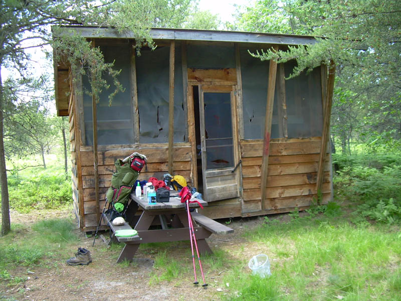
At Canada Creek, there is a shelter with four bunk beds. There is no charge to use the shelter. While the structure is in good condition, the insect screen spanning the front has several large tears. It’s a nice location with a picnic table, fire pit, and space to tent. The water source is Canada Creek, which is only a short walk down the trail.
Because the spacing of these developed campsites is erratic, hiking the entire length of the HCP will necessitate at least a couple of nights of backcountry camping unless you are able to do long miles.
Dispersed camping is permitted on the State Forest lands adjacent to the HCP as long as: (1) the area is not posted “No Camping,” (2) your campsite is at least one mile from a State Forest Campground, (3) your campsite is at least 100 feet from the trail, (4) your campsite is at least 100 feet from water, and (5) a Camp Registration Card is posted at the campsite.
Camp Registration Cards can be obtained at no cost (1) at any DNR Field Office (I got mine at the Gaylord Office on the way up.), (2) at the Pigeon River Country Forest Headquarters and Information Center which is located on the HCP about 3.5 miles north of the Pigeon Bridge Campground (and also accessible by road), and (3) by emailing the DNR and asking to have the cards mailed to you. (I wouldn’t recommend this method. I tried and never got a response.)
In my opinion, the current Camp Registration Card system doesn’t make any sense for backcountry camping. The card is 8.5 x 11 inches in size. The required information must be printed in pencil. The completed card must be posted on a tree or other object at the campsite. The card must be left at the campsite at departure.
These requirements mean a hiker must carry a separate card for each night s/he plans to camp in the backcountry. S/he must also take a pencil to complete the cards and string or some other means of attaching them to an object at the campsite. And leaving the card upon departure seems contrary to “Leave No Trace” principles, especially since it is unlikely a DNR official will ever find it. The practical effect is to require backpackers to leave litter behind at their campsites.
Why not use a self-registration system like those commonly used elsewhere? – A hiker obtains and completes a permit and deposits a carbon copy in a collection box at the trail head. The original is attached to the outside of his or her pack while hiking and then disposed of or deposited in another collection box at the end of the hike.
Water sources: Clear Lake State Park and all the State Forest Campgrounds have potable water. In between, water can be obtained from rivers, creeks, and lakes. But their spacing is such that some planning is required. I usually carry two liters of water which is typically enough for 8 - 12 miles, depending on weather and other conditions. On this hike, despite four days with high temperatures in the upper 80s and low 90s, I only had to carry extra water once. That was when I dry-camped about halfway between Rattlesnake Hill and Town Corner Lake Campground.
Trip Report
Tuesday, June 24, 2008 -- Pigeon Bridge Campground to Pine Grove Campground, 12.1 miles
It was a warm and sunny day. A light breeze occasionally made it down to ground level. The trail was well trod and easy: flat at first; then a series of mild to moderate ups and downs; finally, a long stretch of bog bridges as we approached the Pigeon River and Pine Grove Campground. To my surprise, there were very few bugs – until we hit the bog bridges. Hordes of mosquitoes and biting flies assailed us as we traversed the wetlands. In retrospect, we should have stopped and applied insect repellent. But we thought we were closer to the campground than we were. So we decided to just run (well, a fast walk actually) the gauntlet. It wasn’t too bad, except when I had to stop to retie a shoelace that had come undone.
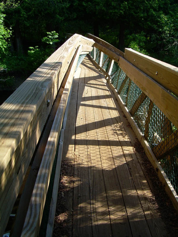
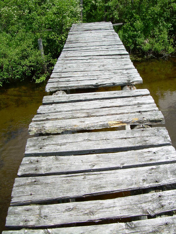
The bridge over the Pigeon River was bent into a “V” in the center and tilted at a 20 degree angle. It looked like something massive floating downstream (ice maybe?) had smashed into it. A horizontal wood bar spanned the west end of walkway at waist height. Attached to the bar was a sign: “Bridge closed. Unsafe to cross.”
No surprise. Six miles back, a notice of the bridge closing had been posted where the trail crossed Tin Bridge Road. It informed hikers that the bridge was unsafe and directed them to follow a temporary reroute. Taking the reroute would have added miles to the day’s hike. It also would have meant bypassing two of the three scenic viewpoints marked on the trail map, one of which supposedly provided a chance to see the elk herd. We decided to risk continuing along the HCP, figuring we could ford the Pigeon River if we had to.
The campground was on the opposite bank and we weren’t about to backtrack. So we crossed.
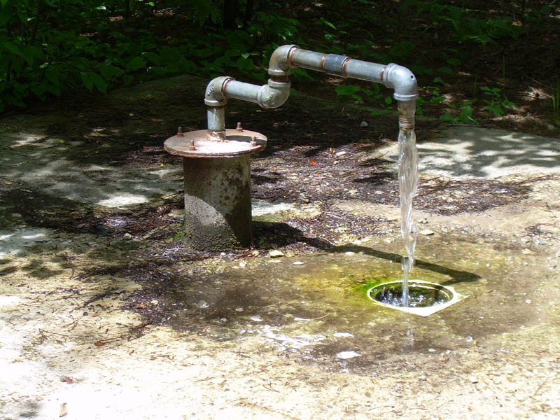
Pine Grove Campground is one of the most secluded State Forest Campgrounds in Michigan. Since Jon and I were the only people there, we had our pick of campsites. A slow flowing artesian well provided potable water. There was a privy. Only a few mosquitoes bothered us and they disappeared as night settled in and the temperature cooled down. A campfire added ambiance.
It was a nice ending to a pleasant day. The scenery had been nothing special. We hadn’t seen any elk or other large wildlife. Nevertheless, it had been an enjoyable walk and I was content.
 |
 |
 |
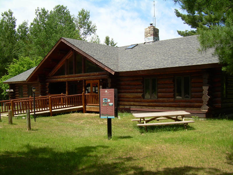 |
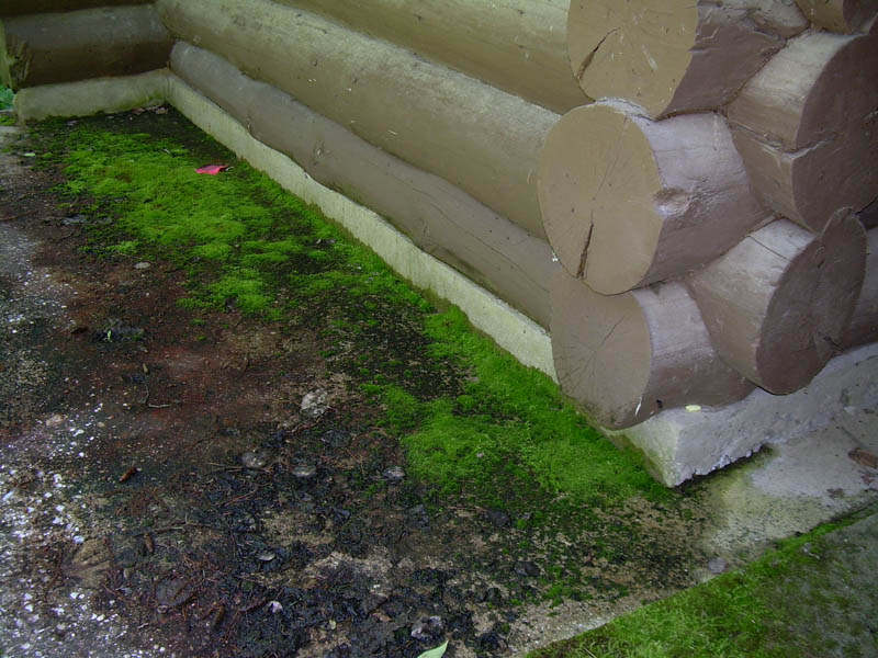
| The trail just north of Pigeon Bridge CG. | A bit farther north. | Log building at the State Forest Headquarters. | Pigeon River Information Center. |
 |
 |
 |
 |
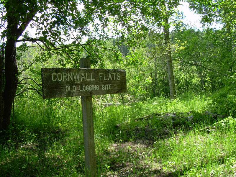
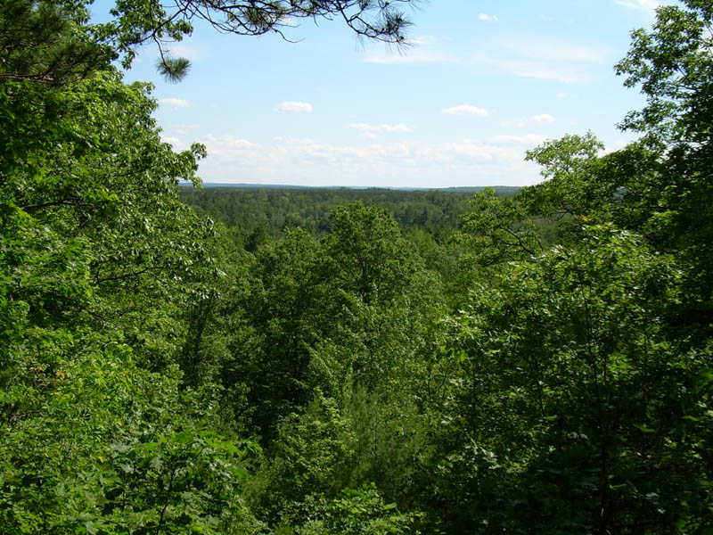
| Artesian well at Pigeon River CG. | Guess. Hint -- sign. | Grass Lake Overlook. Can you see the lake? | Bird Tally Creek. |
 |
 |
||
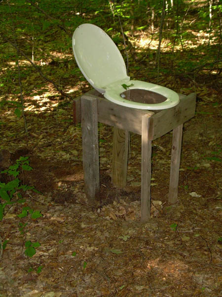
| Backwoods porta potti. | Bridge to Pine Grove CG |
Wednesday, June 25, 2008 – Pine Grove Campground to McLavey Lake, 10.3 miles
By the time we got going, the coolness of the morning seemed like a distant memory. It had warmed up rapidly and looked to be a hot day.
A short climb took us to the top of a high bank overlooking the Pigeon River. About a half-mile north of Pine Grove Campground we passed a open grassy area that would have made a beautiful campsite. Too bad the DNR rules prohibit dispersed camping within a mile of a state forest campground.
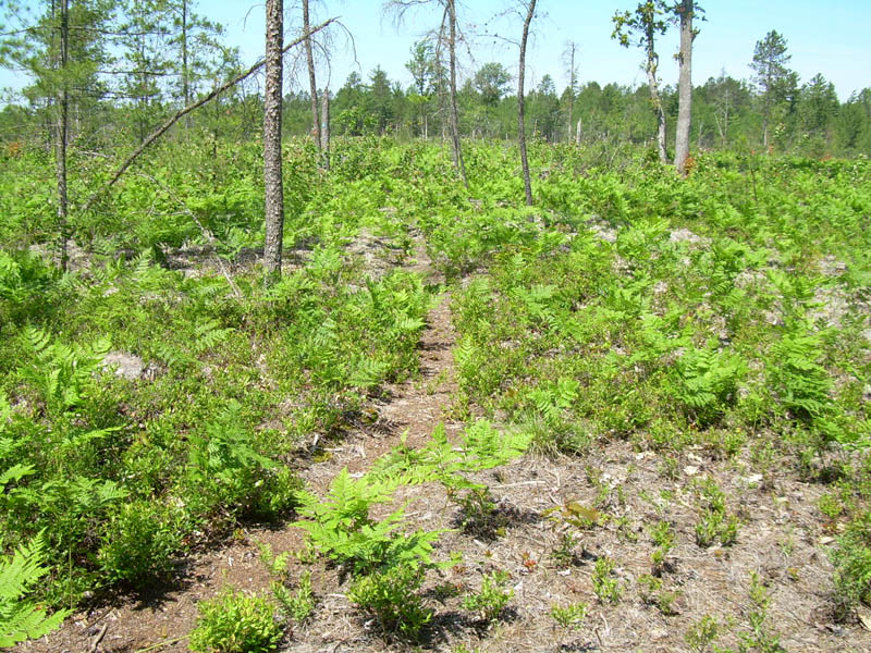
The trail turned away from the river. For awhile, it was easy, but nondescript, hiking through woods. Then the quality of the trail abruptly deteriorated.
It started with the ferns. They had overgrown the trail and all but obscured it. In some places, only the blazes on the trees kept us on track.
Then came the wood ticks. They were hanging out on the ferns and other underbrush waiting to hitch a ride on passersby. I transported seven of them today.
A long stretch of lowland trail began just west of Dog Lake. It was muddy, poorly maintained, and mosquito infested.
Sporadic clearings brought relief from the ferns, mud, ticks, and mosquitoes, but there were tradeoffs. We were exposed to the full impact of the sun and the heat of the day (which topped out in the high 80s in the shade). Biting flies buzzed and attacked. For some reason, they especially liked the bald spot on the crown of my head.
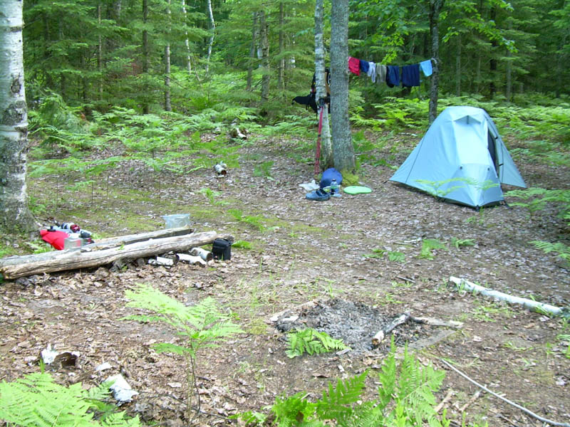
The spur trail to McLavey Lake quickly vanished into an unbroken expanse of ferns. Infrequent, faded blazes guided us as we bushwhacked uphill. The obvious lack of recent use had me wondering what kind of campsite we would find at the lake. It turned out to be a very nice spot.
After setting up camp, I went for a swim and rinsed out my sweat soaked clothes. Unfortunately, the mosquitoes were terrible, so as soon as I dried off I sought refuge in my tent. Jon was already in his. We spent the rest of the afternoon reading and dozing.
As evening approached, we ventured out long enough to cook dinner and do our other chores. But as soon as we were finished, we escaped back into our tents.
 |
 |
 |
 |
| The trail north of Pine Grove CG. Look closely, it's there. | Farther north. I got tired of ferns and ticks. | Approaching (west of) Dog Lake. | Past (east of) Dog Lake. |
 |
 |
 |
|
| Farther east. | McLavey Lake campsite. | McLavey Lake access. |
Thursday, June 26, 2008 – McLavey Lake to Shoepac Lake Campground, 15.7 miles
Between napping yesterday afternoon and turning in early, we’d gotten plenty of sleep, so we were up at 5:30 a.m. It was just as well. We were eager to leave. The morning shift of mosquitoes was famished and, over our objections, joined us for breakfast. In addition, the temperature was already 70 degrees. We wanted to make miles while it was still relatively cool.
Today’s hike was a repeat of yesterday’s – the same varied trail conditions and terrain except it was hotter (low nineties), buggier (12 ticks), and wetter (surface water combined with heavy dew on the greenery overhanging the trail).
Two-and-a-half to three miles of walking brought us to McCready’s Homestead. It looked like a decent place pitch a tent and there was a water source a short distance beyond.
I began the day with two liters of water but was down to a couple of swallows when, 10 miles later, we reached the Canada Creek Shelter. After taking a long break (during which we refilled our water bottles), we continued on. Crossing the bridge over Canada Creek made me feel like I was in an Indiana Jones movie. Two planks were missing and the rest were so worn and weathered that I wondered whether they would support my weight. I envisioned the bridge collapsing under my feet and plunging me into the creek below. All that was missing was pursuit by savage natives. (Okay, the heat may have been stoking my imagination.)
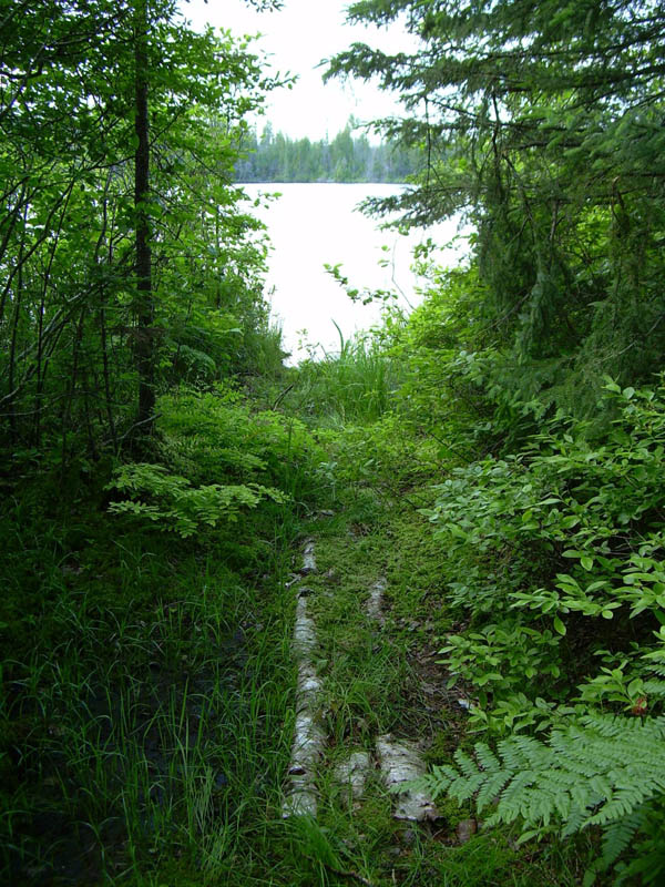
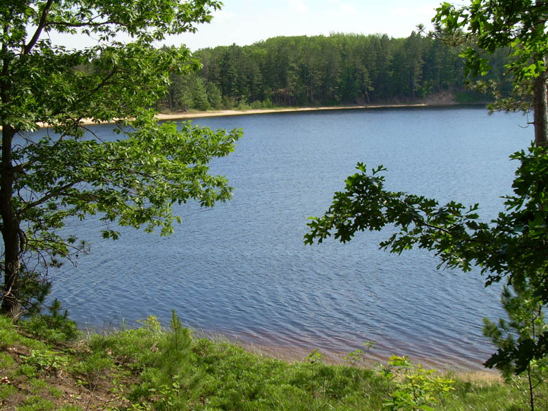
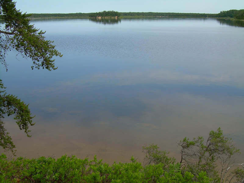
As we neared Shoepac Lake, the trail improved dramatically. The last mile-and-a-half paralleled the shoreline and was very scenic. This final stretch ended with a short road walk that intersected the trail head of the Sinkholes Pathway and the entrance to the state forest campground.
The lake was too enticing to pass by. Immediately after setting up camp, I walked into the water with my clothes on and lounged in the shallows. A half-hour of soaking transformed me from hot, tired, and grubby to cool, refreshed, and clean.
The campground also offered welcome relief from the mosquitoes that had plagued us for the better part of the last two days. But not the ticks. Despite the open ground and short grass, I added three more ticks to my count (which now totaled 19).
 |
 |
 |
 |
| Bog bridge east of Duby Lake. | McCreadys Homestead. Duh. | Black River at the road crossing. | Bog bridge east of the Black River. |
 |
 |
 |
 |
| Between the Black River and Canada Creek. | Canada Creek shelter. | Bridge over Canada Creek. | Between Canada Creek and Shoepac Lake. |
 |
|||
| Shoepac Lake |
Friday, June 27, 2008 – Shoepac Lake Campground to Clear Lake State Park, 12.7 miles
We arose early to make time for a side trip to the Sinkholes Pathway. Leaving our gear at the campground, we backtracked a quarter-mile to the trail head and spent an hour exploring that unique terrain.
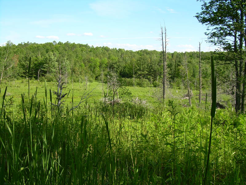
By 9:00, we were back on the HCP. Except for the heat (high 80s), the trail conditions were notably better – fewer bugs, less mud, not as overgrown. A short section of trail paralleled the shore of the Tomahawk Creek Flooding, providing a pretty view. As we neared Clear Lake, we opted to loop northwest on the Clear Lake-Jackson Lake Pathway to the state park – partly because that route promised to be more scenic and partly because we wanted a shower.
It didn’t take long to remember why I usually avoid camping in state parks, especially on Fridays and Saturdays – too crowded and too noisy (dogs barking, babies crying, children shouting, adults playing loud music). But having access to inside plumbing, showers, and a Pepsi machine was a fair tradeoff.
Or so I thought until I was getting ready for bed. Two couples had arrived late and set up camp in a site across the road and next to the path to the restroom. The volume of their music and boisterous conversation was intrusive.
As I passed their campsite on my way to brush my teeth, one of the guys called out to me:
“I noticed that you were backpacking. Is there a trail around here?”
I told them about the High Country Pathway.
“How far have you hiked so far?”
“About 50 miles.”
“On your feet?”
 |
 |
 |
 |
| Sinkholes Pathway | Near Tomahawk Lake | South end of the Tomahawk Creek Flooding. | A bit farther south. |
 |
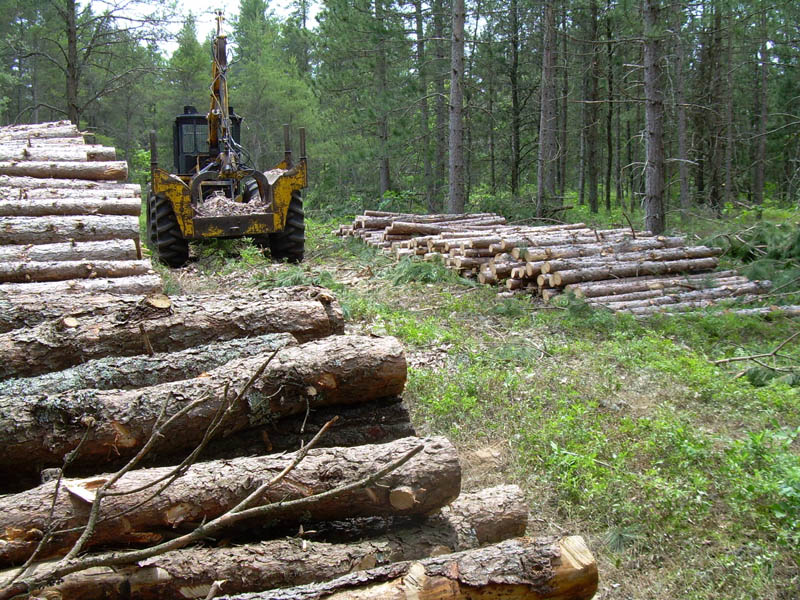 |
||
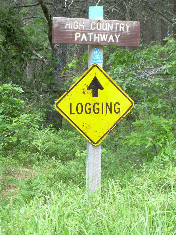
| Logging at Millersburg Road. |
Saturday, June 28, 2008 – Clear Lake State Park to near Growler Club Road, 16.6 miles
We were packed and ready to go when Angie, who was camping with her family two sites away, came over and invited us to share their breakfast. Although we had already eaten, I was not about to turn down an offer of pancakes, sausage, bacon, and orange juice. It delayed our start, but the food and companionship was well worth it.
The pathway on the west side of Clear Lake is not well blazed. We took a wrong turn at a fork in the trail and followed a track that paralleled the lakeshore and dead-ended at a day use area on the southwest corner of Clear Lake. No big deal; the route we took was probably prettier than the alternative. But once we realized our mistake, it took us a while to figure out how to link back up to the HCP without backtracking. We finally decided to walk out the entrance road to County Road 628 and pick up the trail where it crossed.
It was easy, uneventful, typical HCP hiking and I quickly got into my rhythm. As a result, I wasn’t paying attention like I should have been. While striding across a bog bridge near Van Helen Creek, my feet suddenly went flying up in the air and I fell flat on my back across the 12" wide plank bridge.
From up to down took no more than a second. Yet, that was enough time to realize I was falling; to picture my back slamming into the hard edge of the bridge; to anticipate the impact and the pain that would follow; and to be surprised when, instead of the hard whack I expected, my back landed on something soft that made a “whooshing” sound as it squished under my weight. It’s amazing how fast the brain can work.
The incident was entirely avoidable, of course, and I had no one to blame but myself. It had rained most of the night. The moisture on the bog bridge was obvious and I knew from experience that they are extremely slippery when wet. If my pack had not cushioned my fall, I could have been seriously injured. Fortunately, it turned out to be nothing more than a propitious reminder of the danger. We encountered several other equally slick bridges later during the day. But with this experience fresh in mind, we approached them cautiously and traversed them with baby steps.
After descending Rattlesnake Hill, there is a short road walk that crosses the east branch of the Black River. It is the only water source for seven or eight miles in either direction. Since we were almost out of water and planned to dry camp farther down the trail, we stopped to replenish our water supply.
While we were sitting on the shoulder of the road filtering water, ominous black clouds began building in the west. We began pumping faster. Distant flashes of lightning and rumbles of thunder spurred us to hurry even more. It began to sprinkle just as we were finishing up.
We quickly donned our packs and set off, keeping an eye on the approaching storm. It looked like the worst of it would stay to the south. Wrong call. We hadn’t gone 300 yards when the sky opened up, the wind started howling, and lightning began striking all around. Then it began hailing.
Ducking under a couple of large pine trees alongside the road, we scrambled to extract our rain gear and pack covers. Unfortunately, the trees provided little shelter from the torrential, wind blown downpour. By the time I got my rain jacket and pack cover on, my hiking pants were drenched. There seemed to be little value in putting on my rain pants at that point, so I left them in my pack.
For the next 20 minutes, we stood under the pine trees to take advantage of what little protection they provided and waited for the deluge to move on. The air temperature dropped 15 degrees. Refreshing at first, we began to feel chilled as time passed.
As soon as the rain eased up, we took off at a fast pace to warm up. Water had streamed down my legs, soaking my socks and creating puddles inside my boots; my feet squished with each step. The rain continued to taper off and, once I was convinced it was over, I poured the water out of my boots and put on dry socks.
We had hoped to find a campsite a short distance down the trail, but there weren’t many options. Finally, after four more miles of hiking, we discovered an open, grassy spot adjacent to a two track road that did not appear on the trail map.
The sky had cleared and remained that way long enough to set up camp, eat, and relax for a bit. But, all too soon, the respite ended. It was a dark and stormy night.
 |
 |
||
| Gas transfer station south of Clear Lake. | View from Rattlesnake Hill. | Dry camp near Growler Club Road. |
Sunday, June 29, 2008 – Near Growler Club Road to Pigeon Bridge Campground, 10.5 miles
A “bleating” noise awakened me at 3:00 a.m. It wasn’t quite the bark of a dog or the yip of a coyote. I finally concluded it was an elk. And it was close — and coming closer. I had to pee but stayed in my tent until the sound began moving away.
In the morning, I found the elk’s tracks where it had crossed the road about 30 yards away from our campsite. It wasn’t a “sighting” but it was as close as we were going to get – probably too close.
The rain had ended but everything was wet. After packing up our damp tents, we plunged into the dripping overgrowth. Almost immediately, we were as wet as if we had been hiking in the rain.
About a half-mile south of the cutoff to the Town Corner Lake Campground, there was a notice informing hikers that the footbridge over the Black River was closed and directing them to a temporary reroute along Sawdust Pile and Tin Shanty Bridge Roads. This time we did as we were told, relieved at the opportunity to walk for several miles on open ground with firm footing and to dry out.
Shortly after the reroute ended we encountered four mountain bikers out for a day ride heading east. In six days of hiking, they were the only people we met on the trail.
Otherwise, it was a typical HCP day: A few small, open grassy areas. Swamp (I mean wetlands) and slippery bog bridges. A very slick plank bridge across Tubbs Creek. A nondescript path through woods, overgrown in spots at first but increasingly well worn and open as we neared the parking area and the end of our hike.
To be honest, I was glad it was over. I had been trying to get away to do the HCP for several years. Although there were moments, overall, it was disappointing. The end of June probably wasn’t the best time for the hike but, given my schedule, it was either that or delay another year.
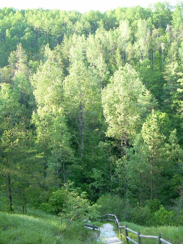
I may give the HCP another chance. If I do, my sense is that autumn, after the trees start turning color, would be best.
David Guenther